DJI MAVIC 3M
See More, Work Smarter

A compact multispectral mapping drone designed for precise agriculture and crop analysis. Equipped with RGB and multispectral cameras, plus RTK positioning, the Mavic 3M captures detailed plant health data that helps farmers monitor crop growth, detect stress, and create variable-rate treatment maps.
Compact and portable
Foldable for easy storage
Multispectral Camera
4 × 5MP
G/R/RE/NIR
RGB camera
20 MP
4/3 CMOS, mechanical shutter
Safe and stable
Omnidirectional Obstacle Avoidance
15km Transmission Distance
Precise positioning
Centimeter-level RTK positioning
Microsecond-level time synchronization
Efficient aerial surveying
Up to 200 hectares per flight
Accurate Images That Capture Every Pixel
The Mavic 3 Multispectral uses RTK module for centimeter-level positioning to capture highly accurate data from the air making field mapping faster and more efficient, without the need for ground control points.
Signal Stability
The O3 transmission integrates two transmitting signals and four receiving signals to support 15km ultra-long transmission distances.
Terrain Following
The aircraft features multiple wide-FOV vision sensors that accurately detect obstacles in all directions for omnidirectional obstacle avoidance. The terrain-follow aerial surveying can be easily performed in steep-slope landscapes.
Battery life, Fast Charging
43 minutes cruise time
Over 200 hectares mapped in a single flight
100W battery charging hub
88W fast charging
Applications
Intelligent Field Scouting
The Mavic 3M can automatically scan your fields and deliver real-time crop data. Monitor plant health, track growth, and manage large areas more efficiently all through DJI SmartFarm Web.
Terrrain Mapping
Reconstruct high-resolution terrain maps together with DJI Terra or DJI SmartFarm Web to automatically identify the number of trees and generate three-dimensional operation routes for agricultural drones, making operations safer and more efficient.
Guide Variable Rate Applications
Generate NDVI and other vegetation indices maps with DJI Terra or the DJI SmartFarm Web to capture differences in crop potential and generating prescription maps that allow agricultural drones to execute variable-rate application. This ultimately allows users to reduce costs, increase yield, and protect the environment.
Get in Touch
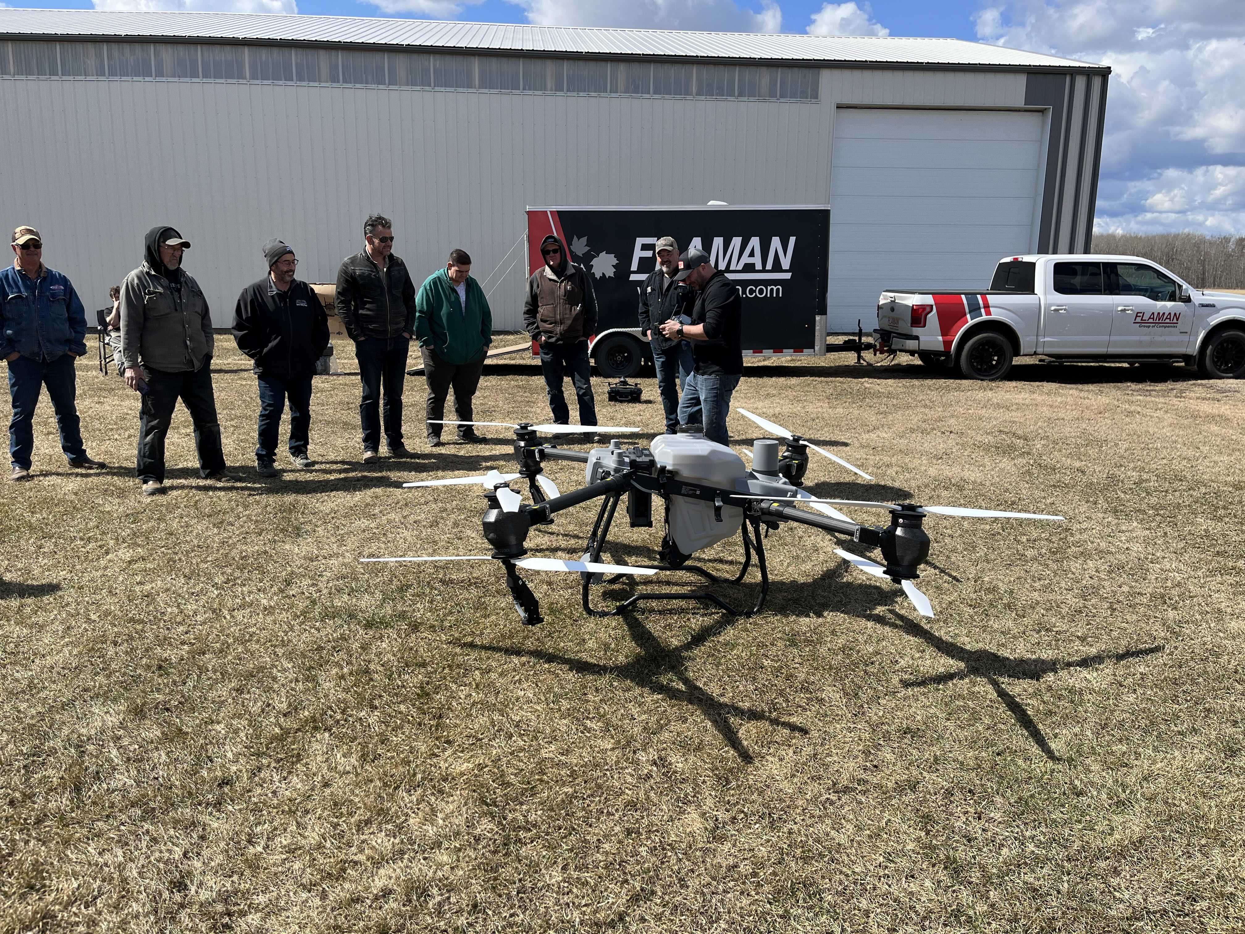
Curious how drones can improve efficiency in your fields? Contact us today to learn more about our agricultural drone solutions and schedule a free demo with our team.